Mapping End-User Interaction Timelines to Optimize Software Synchronization in Satellite-Linked Remote Infrastructures
Mia Berger · Aug 5, 2026
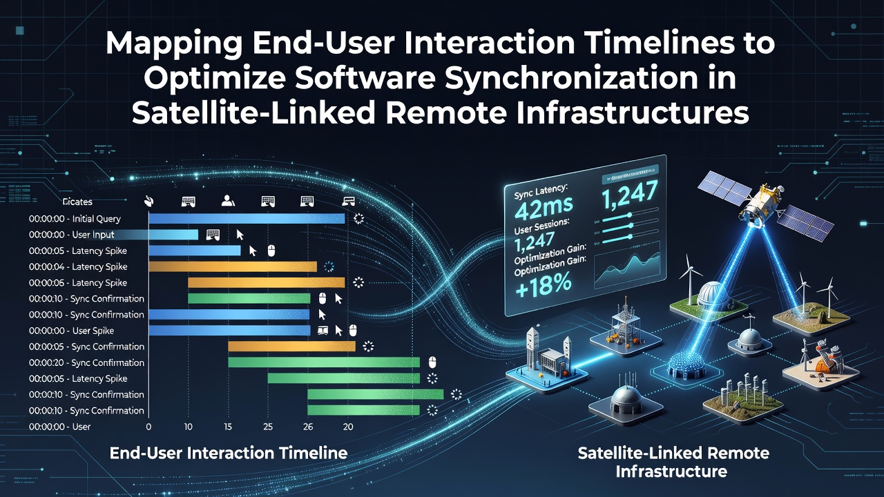
Mapping End-User Interaction Timelines to Optimize Software Synchronization in Satellite-Linked Remote Infrastructures
Remote infrastructures connected through satellite links face unique synchronization hurdles because signal propagation delays vary with orbital positions and atmospheric conditions. Experts in aerospace engineering have documented how these delays range from 500 to 700 milliseconds in geostationary systems, while low-earth orbit constellations can reduce that window to under 50 milliseconds in optimal conditions. Mapping end-user interaction timelines helps align software update cycles with actual usage patterns rather than relying on fixed schedules that often miss peak activity windows.
Core Components of Timeline Mapping
Analysts collect interaction data from device logs, network telemetry, and application usage metrics to build detailed timelines that capture when users engage with specific software modules. Research from the European Space Agency indicates that integrating these timelines with satellite orbital data allows teams to predict latency spikes during handovers between ground stations, which occur predictably every 90 minutes in certain configurations. Software synchronization improves when updates are queued during low-interaction periods identified through pattern analysis spanning multiple weeks or months.
Hardware sensors in remote sites feed continuous streams of performance indicators into centralized platforms, while user activity graphs overlay these feeds to reveal correlations between command inputs and response times. Observers note that clusters of devices in mining operations or scientific outposts show recurring daily rhythms where morning calibration checks coincide with satellite visibility windows, creating natural opportunities for background synchronization tasks without interrupting critical workflows.
Data Integration Techniques
Engineers combine interaction timelines with satellite ephemeris data using time-series databases that support queries across variable latency thresholds. Studies conducted at Australian research institutions have shown that applying clustering algorithms to these combined datasets identifies micro-windows of 15 to 30 seconds where synchronization can complete before the next orbital shift introduces additional delay. This approach reduces failed update attempts that previously consumed bandwidth during high-traffic satellite passes.
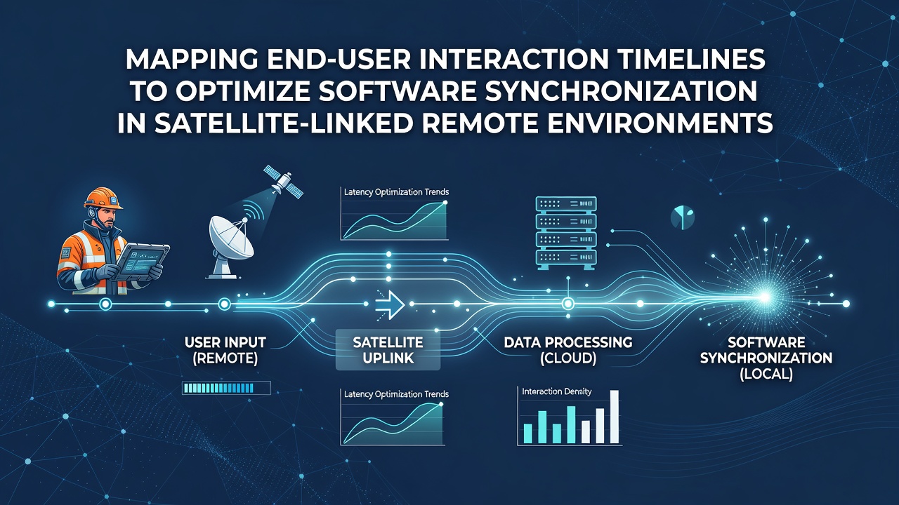
Permission levels and access controls factor into the mapping process because certain updates require elevated credentials that users activate only during scheduled maintenance blocks. Data from field deployments reveal that aligning these blocks with detected low-activity intervals cuts synchronization errors by measurable margins, particularly when satellite bandwidth allocation follows predictive models rather than reactive adjustments.
Implementation in August 2026 Deployments
Projects scheduled for rollout in August 2026 incorporate refined timeline mapping protocols that draw on accumulated logs from prior satellite constellations. Canadian government reports on northern infrastructure projects highlight how these protocols coordinate firmware pushes across dispersed sensor arrays by predicting user interaction drops during seasonal equipment downtime. The result is tighter alignment between software versions across nodes even when connectivity windows remain constrained by polar orbit paths.
Teams apply machine learning models trained on historical interaction data to forecast synchronization opportunities with greater precision. These models process inputs from both terrestrial monitoring stations and onboard satellite telemetry, producing schedules that adapt weekly based on emerging usage shifts rather than static calendars.
Performance Metrics and Adjustments
Key performance indicators track synchronization success rates alongside end-to-end latency measurements collected at the application layer. Industry analyses from IEEE publications demonstrate that sites employing timeline mapping achieve higher completion percentages for distributed updates compared to those using time-zone-based scheduling alone. Adjustments occur through iterative refinement where mapped timelines are cross-checked against actual satellite pass data to correct for drift caused by orbital perturbations.
Remote teams receive dashboard visualizations that display upcoming synchronization slots derived from the mapped data, allowing them to prepare local caches during predicted quiet periods. This preparation step minimizes the impact of any residual latency on critical operations that continue uninterrupted.
Conclusion
Mapping end-user interaction timelines provides a structured method for optimizing software synchronization within satellite-linked remote infrastructures by grounding update schedules in observable usage patterns and orbital realities. Continued refinement of these mapping processes supports more reliable operations across expanding satellite networks as additional data sources become integrated into the analysis frameworks.